
|
United States Department of Agriculture
Soil Conservation Service In cooperation with New Jersey Agricultural Experiment Station http://websoilsurvey.nrcs.usda.gov/app/ |
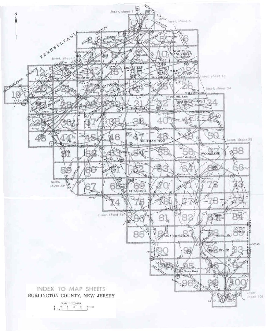
Index to Map Sheets
Locate your area of interest on the illustration below. Then click within the boundaries of that area to see the detailed soil map. Please note that each map sheet consists of two scans. Click on the left or right of the boxed area as appropriate.
Original soil survey map sheets were scanned at publication scale. Viewing scale and printing scale, however, may vary from the original. Please rely on the bar scale on each map sheet for proper map measurements. These maps are scanned and do not have the accuracy of standard soil maps.
File sizes for PDF maps range from 36 KB to 138 KB.
Soil legend and conventional and special symbols legend
These soil survey maps were compiled in 1970 as a part of a soil survey by the Soil Conservation Service, U.S. Department of Agriculture and the New Jersey Agricultural Experiment Station.